
Keith McCosh, President of the Bremer Catchment Association gives an insight to challenges facing our city’s major river system.

The Bremer River is a good indicator of how well we manage our land in the catchment. Rainwater flows over the land and collects in our creeks and rivers before being delivered to Moreton Bay.
When the Bremer Catchment Association (BCA) was formed over 30 years ago, algal blooms were wrecking the recreational opportunities of the Bay.
Upgrades to sewerage treatment plants since then have improved the situation immensely, as over-abundant nutrients from sewerage were slowly reduced. Releases (pollution) from industry along the river were also reduced by tighter regulation and movements away from flood-prone and sensitive riparian areas. No more algal blooms in the Bay.
Today, the BCA still focuses on improving the health of the Bremer River. It seems that the Bremer is, indeed, slowly improving from what it used to be. Despite the Bremer and Brisbane estuaries receiving a ‘fail’ from the annual Healthy Land and Water Report Card, large numbers of fish travelling up Berrys Lagoon fishway at Yamanto give a positive sign.

Berrys Lagoon fishway enables native fish to migrate between habitats
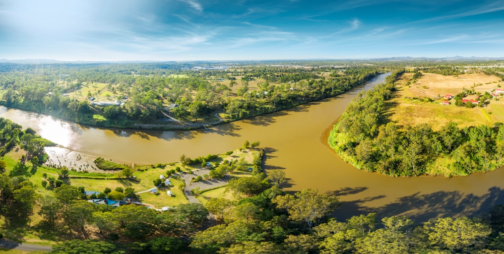
The fishway enables young diadromous fish (those that live in freshwater but return to the ocean to breed, such as Sea Mullet) to return to freshwater habitats. These fish travel 70km up the whole Brisbane River estuary and then 20km up the Bremer River estuary until they reach non-tidal and non-muddy habitat at Coalfalls. A bit further and they reach the fishway. There must be adequate habitat in the estuary to sustain this journey. So don’t let the brown water and black slime fool you – the Brisbane and Bremer estuaries are not dead.
Yet there continue to be issues with pollution, rubbish, excess nutrients, many fish barriers and too much sediment from urban development, bank erosion and agriculture. Farmers are losing precious topsoil, developers are ploughing up suburbs, Moreton Bay is filling with mud.
Too much sediment in the Bremer means that our practices are not sustainable. We are depleting our natural resource base that underpins the whole of our economy.
The health of the Bremer River is much more than just water quality. Rivers need logs and fallen trees and rocks to stabilise the bed and banks. The Bremer floodplain needs lots of native vegetation and numerous wetlands with special vegetation.
These all combine to provide one of the richest habitats in our landscape. Many wildlife species depend on healthy riparian and aquatic habitats linked to the Bremer River. Indeed, our sense of living sustainably off the land requires a healthy Bremer River.

Bremer River at Cribb Park, North Ipswich
With a bit more care, the freshwater sections of the Bremer River will not deliver excess mud into the estuary and down into Moreton Bay.
With fewer fish barriers, our native fish can once again travel freely.
The Bremer will be seen to be healthy.
Bremer Catchment fast facts:
- 2028 sq km
- Ipswich and Scenic Rim local government areas
- 10 sub-catchments in Ipswich City Council
- Freshwater and estuarine sections
- Significant species: Queensland lungfish, Swamp Tea-Tree community, Powerful Owl, Black-breasted button quail.
Find out more in the interactive Bremer Catchment Story.
https://qgsp.maps.arcgis.com/apps/MapJournal/index.html?appid=3bc57c816a9b4e8984d32e4eeaabfb98