You have seen the best of Ipswich outdoors, now get ready for an exclusive inside view of the Heritage City.
Two years ago, Ipswich was comprehensively mapped on Google Maps with the Ipswich Trekker, with more than 50 of the city’s best locations featured.
Ipswich City Council is now one of only 200 organisations globally to be invited to participate in a special program that supports local businesses to enhance their Google Maps, Google My Business and Google Street View listing for free.
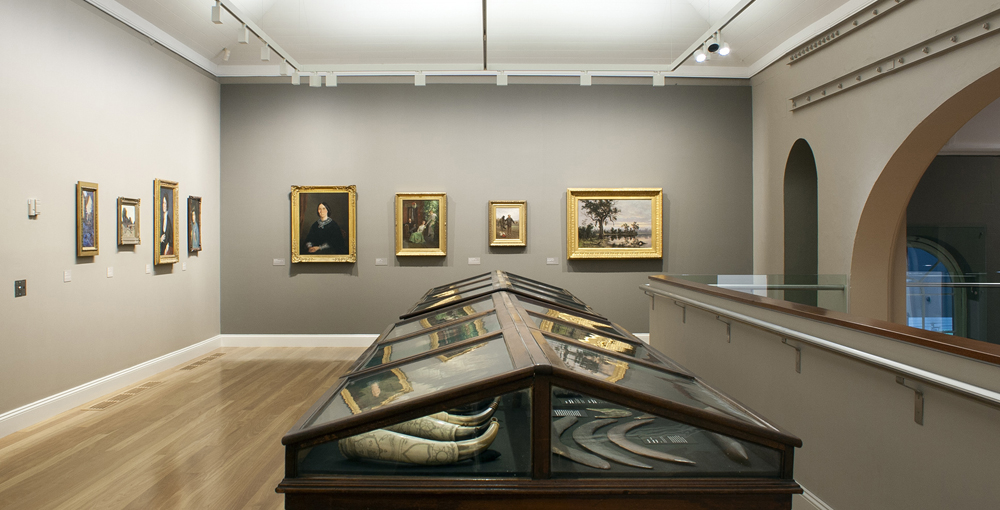
You will soon be able to see even more of the city without leaving your home with Ipswich Trekker 2.0, as mapping of internal experiences and venues across Ipswich is rolled out.
Ipswich Mayor Teresa Harding said she was excited for the next phase of the project to start.
“Ipswich Trekker put us on the map – we’re one of a few places globally to be mapped in such detail, showing off our many beautiful locations and attractions,” Mayor Harding said.
“We want to make it easier for visitors to plan their trips, whether it be for the day, a weekend or a week in the Heritage City.”
Mayor Harding said tourism has been growing in Ipswich, with more than two million people visiting the city last year, and Ipswich Trekker makes information about the city more accessible and visible on Google.
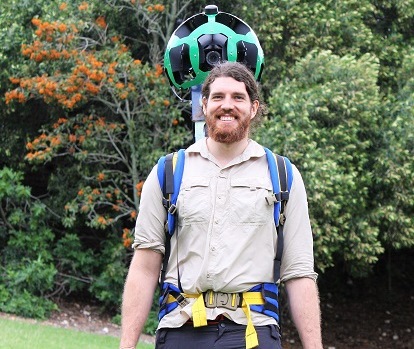
In 2018, Josh “The Bear” Kerr walked three million steps, capturing 57 locations to showcase some of the most amazing places in Ipswich, including the climb up Flinders Peak, the historic mansion at Woodlands of Marburg, luxury resort Spicers Hidden Vale, 88 Limestone Street, Ipswich Nature Centre, Ivory’s Rock Conventions and Events, and Robelle Domain at Springfield Central.
His epic journey led to Ipswich becoming one of the most comprehensively mapped cities in the Southern Hemisphere, and saw views on Google Street and visitation to the region grow exponentially.
Thanks to the interest around the original campaign Ipswich’s nature and conservation areas have seen a six-fold increase in trail use. This upward trend has continued across other places mapped as part of the first project.
Council’s Economic and Industry Development Committee Chair Cr Nicole Jonic said the concept was perfect for a city rich in heritage.
“Businesses across the city will reap the rewards of this great initiative for years to come. It really is exciting to think of our city is leading the way to reach consumers directly and entice them to visit our great city,” Cr Jonic said.
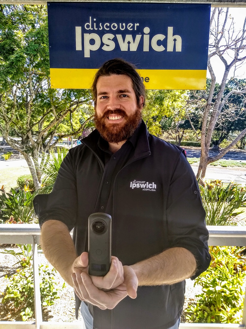
During the first project Mr Kerr had to carry around 18kg of equipment over the 240-day project. This time he will be capturing internal locations with a much smaller, sleeker, lighter camera, weighing under 182g, which can create an immersive 360-degree panoramic view of internal spaces.
David Ritchie, Director at Woodlands of Marburg, said the Ipswich Trekker project had been a boost for the heritage property.
“It has allowed potential visitors to virtually tour our facility. During COVID-19 while potential corporate or wedding clients could not physically visit us they were virtually able to tour our property and see what we had to offer on Google Street view,” Mr Ritchie said.
Mapping is expected to start in 6-8 weeks. Do not miss this unique opportunity.
Register your interest with council’s Destination Development team by completing the form here: https://www.discoveripswich.com.au/trekker-2-eoi and take the opportunity to join more than 160 businesses that make up the Ipswich Tourism Operators Network, https://www.ipswich.qld.gov.au/about_ipswich/ipswich_tourism
Google Street View (sample):
Hiddenvale Adventure Park (130kms of trails, the largest MTB trail in Queensland)
Flinders Peak (tallest peak in the SEQ region)
Woodlands of Marburg (heritage property)
Orion lagoon (gets more than 500,000 visitors a year)
Spicers Hiddenvale (luxury resort)
Read More


As a sideline note; local surveyors from RPS in the top end of town have been working closely with the development industry to undertake 360 degree imagery that is being fed straight into Google Maps and Street View. In addition to undertaking the video component, the team have also been providing information from recently registered survey plans to ensure that road networks, street naming, addressing information and other geo-spatial information ensuring that this information is available to visitors and emergency services quicker than would be ordinarily seen.