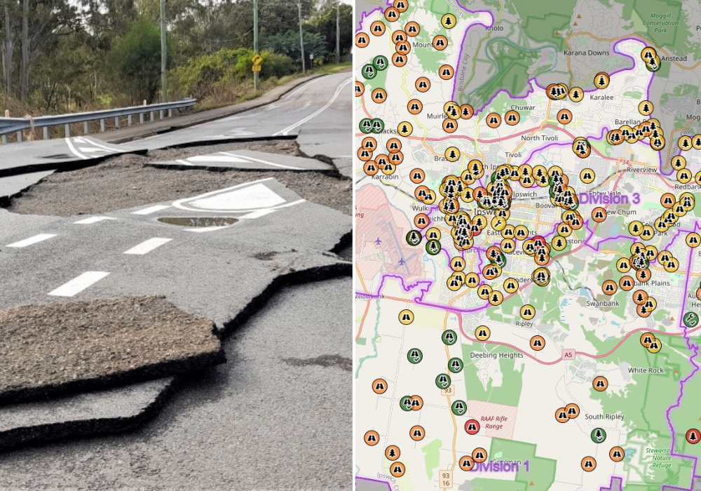
Residents will be able to keep a close watch on the progress of council’s flood recovery efforts through a new online map that pinpoints which projects are planned, under construction or completed.
Local Disaster Management Group (LDMG) Chair Ipswich Mayor Teresa Harding said this innovative online tool will benefit the entire community.
“The impact of the February and May flood events on our city was significant. Hundreds of roads, paths, parks and sporting fields were impacted with many requiring repairs from council,” Mayor Harding said.
“It is a major coordinated effort to carry out the required works to get everything back in order, and we want the community to be able to follow us on our road to recovery.
“To date, council has spent more than $7 million on the city’s flood recovery with another $30 million allocated in our 2022-2023 Budget.
“There are more than 350 projects currently listed on council’s flood recovery map which gives you a sense of the huge task ahead of us.
“The community will be able to access the online map to see the latest information on council’s flood recovery efforts and when projects in their local community will be completed.”
Deputy Chair of the LDMG Councillor Kate Kunzelmann said the map had icons, such as a road, tree or tool, which residents could click on and get a full description of the work already carried out, in progress, or scheduled to be done in coming months.
“The information included is very detailed, such as work title, description, projects status, category, what to expect, phase of work, reference ID, links, council division and when this project info was last updated,” Cr Kunzelmann said.
“We are very excited about the flood recovery map and ensures council keep the community fully informed of everything that is being done to get us back in shape after a year of devastating weather.”
Deputy Chair of the LDMG Councillor Russell Milligan said council repaired 3,000 potholes this year as a result of flooding.
“While the flood recovery project map will not pinpoint every single pothole, it will certainly give residents an idea of the scope of work that is being carried out right across the city to repair our roads, bridges and pathways,” Cr Milligan said.
“We encourage everyone to look at the map and keep a check on the progress of our flood recovery projects. Some of the work will take one to two years to complete, so the best advice is to keep up to date with what is happening in your area.”
The Flood Recovery Projects map can be found at maps.ipswich.qld.gov.au/floodrecovery
Read also:
>>> Real-time Ipswich flood cameras at fingertips of residents

