
Seven additional CCTV cameras have been installed across Ipswich to give residents instant access to view rising flood waters, with more flood cameras being considered to better manage the impact of flooding on the city’s road network and improve the safety of road users during flood events.
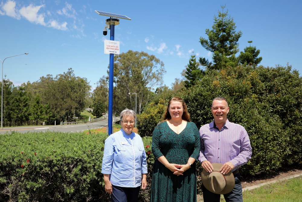
Local Disaster Management Group Chair Ipswich Mayor Teresa Harding said the new Flood Monitoring CCTV Network provided water levels of key waterways every 15 minutes on the city’s Disaster Dashboard.
“Over the last few weeks, contractors have constructed the towering masts and installed CCTV cameras at seven sites near significant waterway crossings across our city,” Mayor Harding said.
“Almost all the cameras are now operational and their feeds, which are updated several times an hour, can be accessed for free online through council’s Disaster Dashboard.
“By checking the Disaster Dashboard, residents can select any flood camera and view the water height of particular rivers and creeks and see for themselves what roads or bridges may be closed.
“This will enable them to make decisions about proposed travel and not place themselves in risky situations where water may be about to or is already blocking access.”

A flood camera overlooking Deebing Creek in Raceview.
Local Disaster Management Group Deputy Chairperson Councillor Kate Kunzelmann saidthe flood cameras will allow residents to be better prepared during those times of severe rain and weather.
“This gives Ipswich a total of 11 flood cameras and a CCTV network that captures water levels at some of the city’s busiest thoroughfares and vital escape routes for areas that commonly flood,” Cr Kunzelmann said.
Local Disaster Management Group Deputy Chairperson Councillor Russell Milligan said the vision captured and uploaded in real-time by the 12 cameras will also be useful for local authorities.
“Ipswich’s Flood Monitoring CCTV Network can keep locals safer during flood events and sharing water levels will also provide timely information to local emergency services,” Cr Milligan said.

New cameras have been installed at the following seven locations:
- Seven Mile Bridge – Ipswich Rosewood Road, Rosewood
- Leichhardt Bridge – Lobb Street, Leichhardt
- Brisbane Terrace, Goodna
- Colleges Crossing, Chuwar
- Mill Street, Goodna – looks west towards Parker Street
- Mill Street, Goodna – looks east towards Enid Street
- Junction Road, Karalee
These seven new cameras join the existing network of four cameras installed in October at the following locations:
- Goodna Boat Ramp – Brisbane River – 123 Brisbane Terrace Goodna
- Warwick Road Bridge – Deebing Creek – 128 Warwick Road, Raceview
- Spressers Bridge – Bremer River – Rosewood Warrill View Road, Rosewood
- Western Creek Bridge – Rosewood Warrill View Road, Rosewood
Council is looking to install more cameras at selected sites, depending on the suitability of conditions and available funding.
To access the live feed from the flood cameras, go to Disaster.ipswich.qld.gov.au
For the most up-to-date local road closures, weather and disaster information, visit https://disaster.ipswich.qld.gov.au or call the council call centre on (07) 3810 6666.
Read also:
>>> Flood recovery and planning scheme feature in council’s 2021-2022 Annual Report