What is proposed for the future of your suburb, how and where will it grow and what will it look like in the future?
Proposed answers to these questions have been revealed in strategies for 30 local areas – including alternative options for some areas and sites – released for early community engagement as part of a two-year process to develop a new planning scheme.
Council is currently asking the community to have its say on a Statement of Proposals and draft Strategic Framework, which includes the strategies for local areas.
Ipswich First has summarised what’s happening in each of the areas to provide an overview of what is proposed. Scroll down until you find your suburb to see what is proposed.
The complete Local Area Frameworks document can be viewed here.
Consultation on the Statement of Proposals is open until 4.30pm on Friday, 28 June, 2019. Submissions can be made by email at [email protected]
Area 1: Goodna Gailes
Most development will happen around the major centre in Goodna outside the areas affected by flooding. Development up to 10 storeys is proposed for Queen Street, up to five storeys along Martha Street and the southern side of Alice Street, and up to three storeys on Marie Street. A range of low density and different lot sizes are proposed for land near Ascot Street, Church, Bertha and Alice Streets.
Read more about plans for this area here.
Area 2: Carole Park
This area will continue to develop as a significant employment hub for Ipswich and the region. Medium impact business and industry developments are accommodated towards the centre with low impact uses on the edge. A conservation designation is proposed for bushland on land off Addison Road.
Read more about plans for this area here.
Area 3: Camira
Retention of the area’s leafy character through acreage and large urban lot sizes is proposed. An option exists for medium density housing around the Camira neighbourhood centre, off Old Logan Road. Waterway corridors along Sandy Creek, Woogaroo Creek and O’Dwyer’s Gully will be protected.
Read more about plans for this area here.
Area 4: Springfield Estate
Springfield Town Centre will continue to develop as a Principal Regional Activity Centre with a full range of residential densities proposed, with higher density development in the town centre and medium densities in the adjoining areas. There will be lower densities in other suburban residential areas. An important network of green space includes conservation lands to the south and west, major waterway corridors, Brookwater Golf Course and major parks.
Read more about plans for this area here.
Redbank Plains Town Square shopping centre.
Area 5: Bellbird Park, Redbank Plains, Augustine Heights
It is proposed that one acre (4000m2) or quarter acre (1000m2) lots are located west of Fiona Street, with one acre or 800 square metre lots east of Fiona Street and north of Eugene Street to retain existing amenity and character. New residential lots between 300 to 500 square metres are proposed in lieu of light industry uses on land fronting Greenwood Village and Redbank Plains roads. Medium density options are proposed around Redbank Plains District Centre, School Road local centre and Keidges Road neighbourhood centre. Waterway corridors along Woogaroo, Six Mile Creek, Goodna Creek and Happy Jack Gully will be protected.
Read more about plans for this area here.
Area 6: Redbank, Collingwood Park
Regionally significant business and industry employment will continue in the Redbank Peninsula, with medium impact uses towards the centre and low impact uses on the edge, with a strong focus on transport and logistics. Highway oriented businesses will develop at Francis Street, Redbank. Protection for character housing in Redbank township will continue. New residential lots between 300 and 500 square metres are proposed for undeveloped land at Collingwood Park. Medium density housing is proposed west of Redbank Plaza, within limited areas in Redbank township and near the intersection of Collingwood Drive and Redbank Plains Road.
Read more about plans for this area here.
Area 7: Swanbank, New Chum
This area will support regionally significant business and industry with medium impact uses towards the centre and low impact uses towards the outside, but within buffer areas. There is an option to rehabilitate the former power station ash dam to add to parkland along Bundamba Creek and additional low impact industrial uses. A business park and sports ground supporting Ripley Major Centre is proposed for land at the southern end of Swanbank.
Read more about plans for this area here.
Area 8: Riverview
An urban village with development up to five storeys is identified between Riverview Railway Station and Ipswich Motorway with a ‘main street’ style local centre along Station Road and a civic square between the railway station and Moggill Ferry Road. There is also an option for higher density development, up to 10 storeys. Undeveloped land west of Riverview State School may be developed for residential lots between 600 and 700 square metres. Land between the Warrego Highway/Goodna Bypass and Bremer River will provide for low and medium impact business and industry uses.
Read more about plans for this area here.
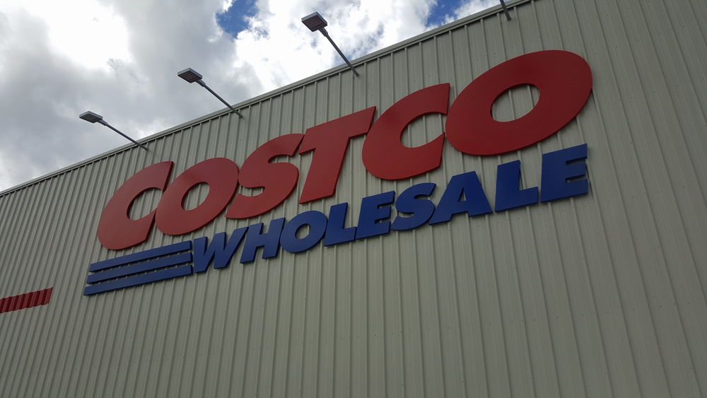
Costco Ipswich recently opened at Citiswich Business Park.
Area 9: Bundamba, Blackstone, Ebbw Vale, Dinmore
Further development at the regionally significant employment area of Citiswich Estate will continue. Establishing a network of neighbourhood centres across the area is a focus. Medium density housing up to five storeys is proposed near Bundamba Railway station, at Carberry Street and Braeside Road, Bundamba, Mary Street, Blackstone and at Brisbane and River roads, Dinmore. An opportunity exists for new residential lots to the southeast of Citiswich Estate, with limited development proposed in remaining areas.
Read more about plans for this area here.
Area 10: Karalee, Barellan Point, Chuwar
This area has the largest concentration of acreage residential blocks in the city. It is proposed to retain the area’s predominant semi-rural character. It is also proposed to encourage relocation of Tivoli Raceway to allow further residential development in Chuwar including options for a mix of lots ranging from 300 square metres to 6000 square metres, plus a new neighbourhood centre with adjacent one to two storey dwellings near the intersection of Robin Street and Aura Crescent.
Karalee is proposed to develop a district centre along Junction Road with medium density housing along the southern side of Junction Road. A new neighbourhood centre is proposed near Karalee Primary School along Arthur Summervilles Road.
Read more about plans for this area here.
Area 11: North Ipswich, Tivoli
This area will continue to develop in support of the Ipswich City Centre with retail and other uses, including development up to 10 storeys through to Browns Park. There is an opportunity for a stadium at The Terrace. There will be limited development for mining affected land at Tivoli and behind St Joseph’s Primary School. Opportunities exist to investigate light industry near Warrego Highway/Mt Crosby Road interchange and for a possible business ‘incubator’ precinct comprising houses off Mt Crosby Road, Lumbye Place and Vauxhall Street.
Read more about plans for this area here.
Area 12: Brassall
Medium density housing up to three storeys is proposed for flood free land north and west of Sutton Park, around the Mihi Tavern site, next to a planned local centre at Fernvale Road and Diamantina Boulevard, and next to Raymonds Hill neighbourhood centre off Pine Mountain Road. Land between Diamantina Boulevard and the Warrego Highway and Haig Street Quarry Conservation Estate and Workshop Street provides opportunities for new residential lots 300 to 500 square metres. Limited development is proposed outside these areas.
Read more about plans for this area here.
Ipswich’s CBD will continue to be the civic, cultural, administrative and economic heart of the city.
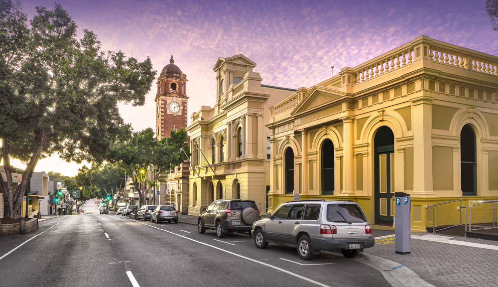
Area 13: Ipswich Central
As a Principal Regional Activity Centre, Ipswich City Centre will continue to be the civic, cultural, administrative and economic heart of Ipswich and the broader western corridor. Retaining iconic townscape and landscape features is a priority. Opportunities exist for adaptive reuse or sympathetic infill residential development close to the current CBD or Thomas Street railway station as well as commercial office tower and high density residential uses to establish.
Read more about plans for this area here.
Area 14: Booval, East Ipswich, North Booval
Development will be focused around Booval railway station with a core area at Booval Fair. Development up to five storeys is proposed along Station Road in a ‘main street’ style and up to two storeys east and west of Brisbane Road. There are options to increase building heights to 10 storeys near the station and to extend medium density housing south to Blackstone Road. New flood levels have resulted in a reduction in higher density residential development for land at Basin Pocket and East Ipswich. The Bundamba Stables Residential Area has been removed due to a lack of demand and other constraints.
Read more about plans for this area here.
Area 15: Raceview, Flinders View
Limited change is proposed as this area is mostly developed. Some medium density options are proposed around local/neighbourhood centres. There is support for local centres at Raceview and Ash Street, Yamanto. A local business and industry area is proposed south of the cemetery, off Briggs Road.
Read more about plans for this area here.
Area 16: Churchill
Opportunities exist for medium density housing, one to two storeys, and a small neighbourhood centre on the south western end of Lobb Street. Medium density housing up to five storeys is designated on the eastern side of Lobb Street, near the golf course. Low-medium density housing may also develop on flood free land near Lobley Park, between Lobb Street and Warwick Road. The proposals support local business and industry along Lobb Street.
Read more about plans for this area here.
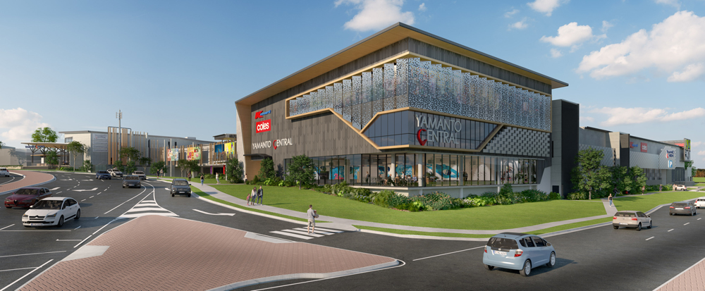
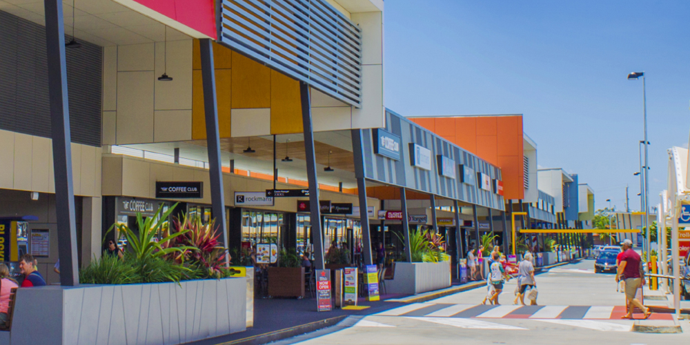
Yamanto Central will play a role in the region’s growth.
Area 17: Yamanto
High and medium density development – up to five storeys – focused around the future railway station and a new main street, is supported for Yamanto. Jobs will come from a local business and industry area off Hall Street, and business park off Warwick Road and Salesyard Road. Special opportunity areas exist at Warwick Road (mix of office, community recreation uses), Powells Road (motel or residential uses), and Hall Street (business incubator/home occupations).
Read more about plans for this area here.
Area 18: Ripley Valley
Ripley Town Centre will develop as a Major Regional Activity Centre with medium and high density residential precincts. Medium density residential precincts at Ripley East and Ripley West will support the regional centre. Major greenspace footprints are designated along Bundamba and Deebing creeks, and eastern, western and southern ridgelines. An option exists for the eastern side of Fischers Road to convert to new suburban lots (300 to 500 square metres) with a neighbourhood centre and medium density residential at the northern end.
Read more about plans for this area here.
Area 19: Purga, Goolman, Peak Crossing
This area will remain rural. There is a strong focus on eco-tourism, including designation of Ivory’s Rock Conference Centre for tourism/events. An option exists for a Defence Industry Business Park to the north of Cunningham Highway in association with RAAF Base Amberley. Significant conservation areas such as Flinders-Goolman Conservation Estate and Purga Nature Reserve will be protected.
Read more about plans for this area here.
Area 20: Amberley
Protection of the integrity and operational efficiency of RAAF Base Amberley is the primary consideration in this area, together with support for allied activities. The residential amenity of Willowbank township will be protected, as far as possible, with no further residential development proposed in or around the township.
Read more about plans for this area here.
Area 21: One Mile, Leichhardt, Wulkuraka
There is an opportunity for minor expansion of the neighbourhood centre along Old Toowoomba Road. Limited opportunity for medium density residential exists due to flood impacts. There is an option for medium density residential and a small neighbourhood centre on the southern side of Wulkuraka Station. The proposals also include a reduction in the footprint of Wulkuraka industrial area, owing to vegetation protection and flooding impacts.
Read more about plans for this area here.
Area 22: Karabin, Blacksoil
This area will mostly retain its current look and feel. There is limited opportunity for further industrial use along the rail line, including Bradken engineering works.
Read more about plans for this area here.
Area 23: Pine Mountain, Murlea, Blacksoil, Ironbark
This area will mostly remain rural. The large lot/acreage character of Blacksoil will be retained with some limited opportunities for rural living lots to be developed.
Read more about plans for this area here.
Area 24: Walloon, Thagoona
Significant greenfield development opportunities exist at Walloon and Thagoona. Urban development at Walloon is proposed to include a district centre extending from Queen Street to the railway line with medium density housing on land adjoining the district centre and railway station. New suburban residential lots (300 to 500 square metres) will extend to the north and north west.
In Thagoona, a new local centre is proposed on land near the intersection of Karrabin Rosewood Road and Thagoona Haigslea Road. The area within the ‘walk up’ catchment of Thagoona railway station could be developed for medium density housing up to five storeys with an option to include land to the south in the SEQ Regional Plan Urban Footprint. Land outside this catchment has potential for new suburban residential lots. Land in the area which is impacted by past underground mining will remain as acreage housing.
Read more about plans for this area here.
Area 25: Marburg
Marburg township will retain its heritage character, with limited opportunities for expansion. Heritage listed Woodlands will have a tourism designation.
Read more about plans for this area here.
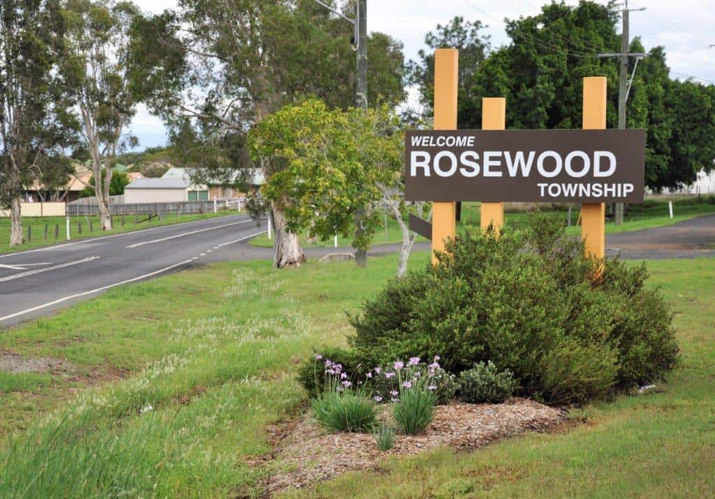
Rosewood will retain much of its charm and character into the future.
Area 26: Rosewood
Significant expansion is constrained by mining, flooding and good quality agricultural land. Targeted infill and medium density development will generate opportunities to broaden housing diversity and provide residential growth to support main street businesses. The proposal is to continue strong heritage character controls in pre-1946 housing precincts and the main street area. A small service trades/light industry area is proposed near the showgrounds. It is also proposed to allow new suburban residential lots from 300 to 500 square metres on the northern side of Karrabin Rosewood Road. An opportunity is identified to include land to the north-east in the SEQ Regional Plan Urban Footprint.
Read more about plans for this area here.
Area 27: Ebenezer
This area has the capacity to develop as one of Australia’s largest industrial areas with potential for it to operate as an ‘inland port’ focused on inter-modal rail freight movement. Some difficult to locate activities are likely, but no hazardous activities. An important tourism zone exists in the form of the motorsports and events precinct at Willowbank. No further expansion of Willowbank township is proposed.
Read more about plans for this area here.
Area 28: Tallegalla, Woolshed, The Bluff
This area will remain largely rural. Opportunities for ecotourism exist around Cabanda/Kunkalla historic rail and along the edge of the Tallegalla escarpment.
Read more about plans for this area here.
Area 29: Ashwell, Lanefield, Calvert, Grandchester
Grandchester and Calvert are both proposed to have township designations but are not expected to expand considerably due to constraints. Significant opportunities exist for rural/ecotourism including Old Hiddenvale and Grandchester heritage railway and proximity to the conservation estate associated with the Little Liverpool Range.
Read more about plans for this area here.
Area 30: Mount Mort, Mount Walker
This area will retain its current rural character and amenity, with no urban development proposed.
Read more about plans for this area here.
Also read:
>> Explained: What is a planning scheme and why it matters to you
>> Where the jobs will be in Ipswich
>> What is green infrastructure and why is Ipswich ‘building’ it?